Around
Bellingham 2018
Photos Home
Country Photos
USA
USA West
Pacific Northwest 2018
Bellingham City
All photos on this
page
© John Holstein
jfholstein@yahoo.com
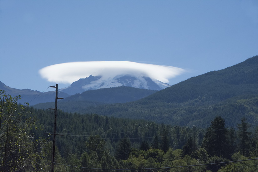
Mt.
Baker from Chuckanut Ridge trail. Chuckanut Mountain is just south of
Bellingham.
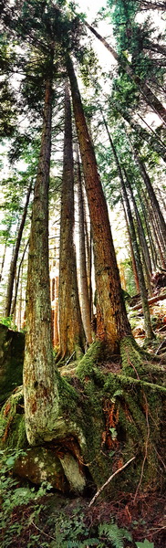
Along
Chuckanut Ridge trail.
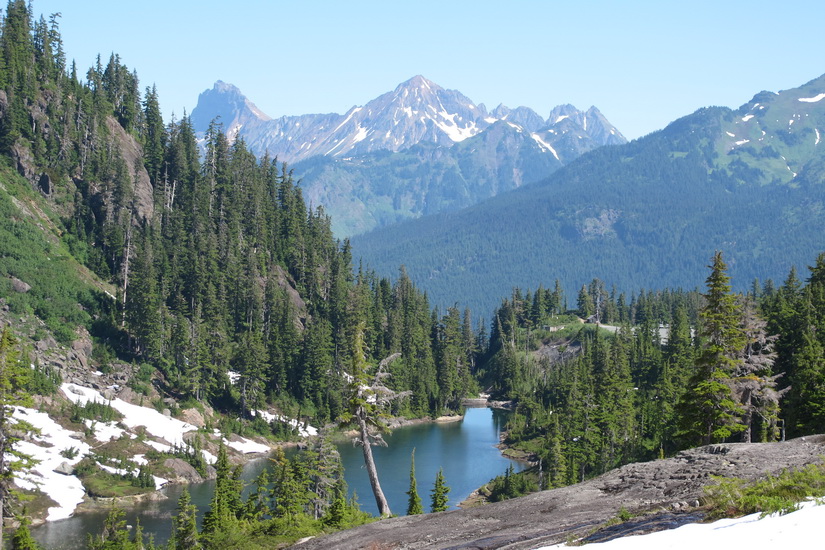
Heather
Meadow, on the way to Artist's Ridge for views of Mt. Baker and Mt. Shuksan.
Check out more views of Heather Meadow and the Mount Baker area on this
page.
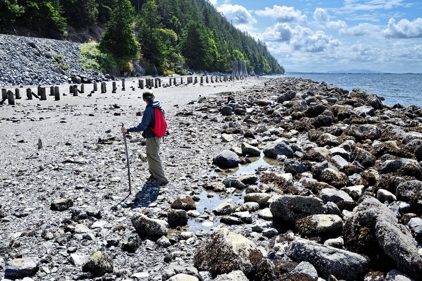
Clayton
Beach in Larrabee State Park, just a few miles south of Bellingham. That's
my hiking buddy, Fran. More views of Clayton Beach here.
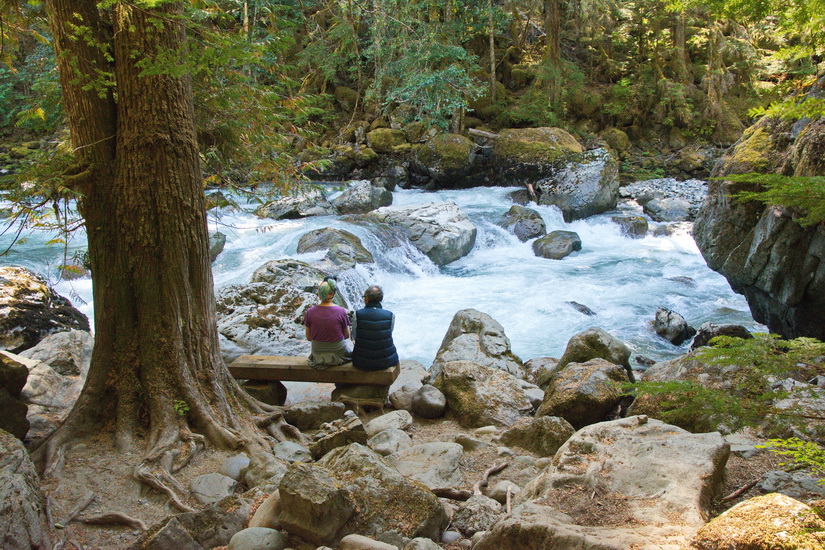
The
Nooksack River, loved by salmon and humans alike, gorgeous from beginning
to end. Two of its three sources are glaciers.
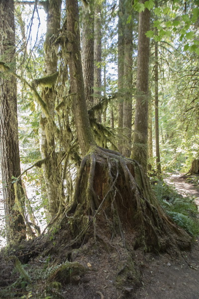
A
nursing stump. They're everywhere you look.
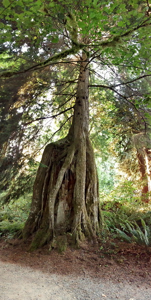
See?
What did I tell ya!
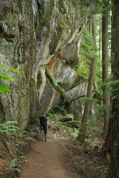
No
surprise to learn that they named this Rock Trail. It's in Larrabee State
Park and Chuckanut Mountain, and it leads to the cliffs over Lost Lake.
See more views here.
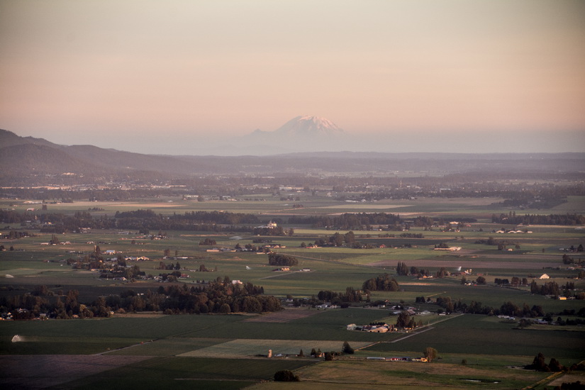
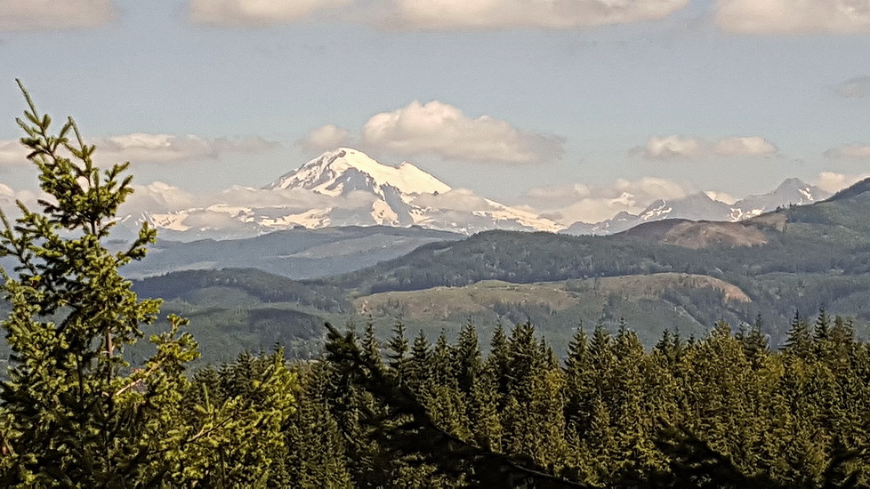
Skagit
Valley, south of Bellingham. That's Mt. Rainier in the distance, looking
south. You can see photos of Samish Bay, the small village Edison, Bay
View State Park, Samish Island and more on
this page.
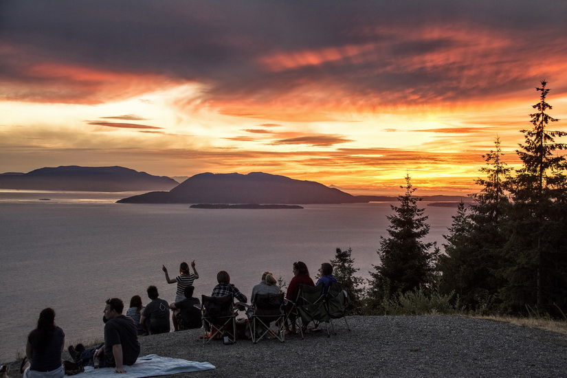
Samish
Bay Overlook, just south of Bellingham. Paragliders often take off at
this point. Friend Tony and I video-recorded on launching and then. .
.and then. . . (The two observers
are John and Tony. We sound like little kids because neither of us have
been that close to a paragliding event.)
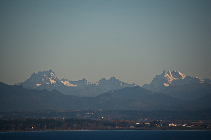
Though
you can hardly see it, Anacortes is there at the foot of the foothills
of the Olympic Range. (The photo was taken from Samish Overlook.)
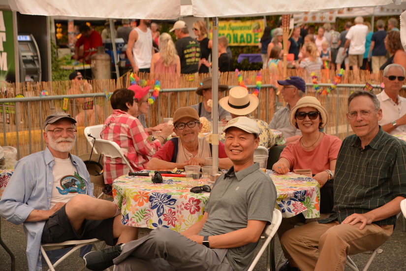
The
Eclipse trip survivors waiting for their beer in Anacortes
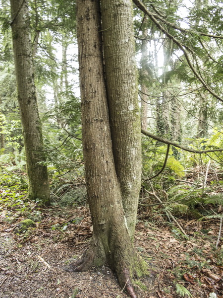
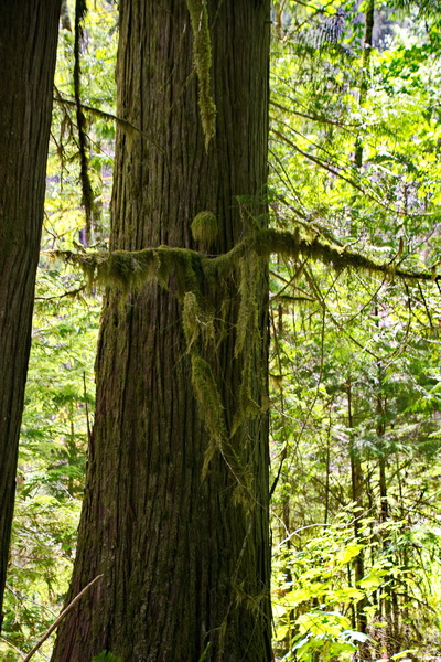
A
tree crossing its legs.
Along
the hiking trail off Bayview Road, south of Edison
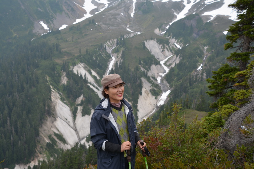
Jin
at Artist Point, our favorite observation spot for Mt Baker and the North
Cascades Range. More views here.
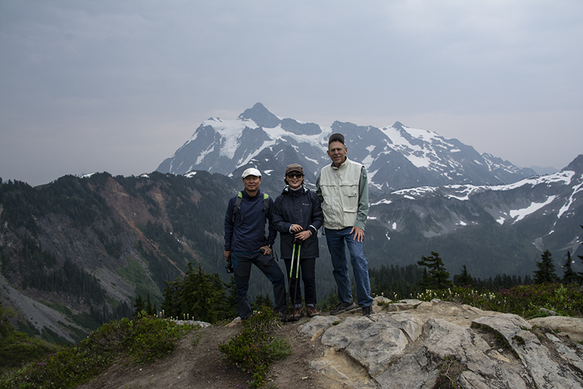
At
Artist Point, with Mt. Shuksan in back of us.
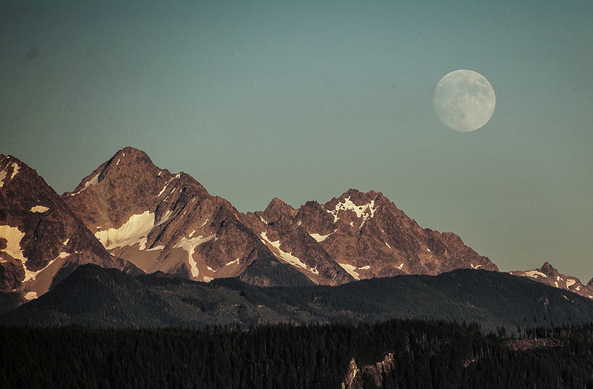
Along
Highway 9
Back
to Bellingham 2015~18