Crescenta
Vallley
Photos Home
Country Photos
USA
USA West
All photos on this
page
© John Holstein
jfholstein@yahoo.com


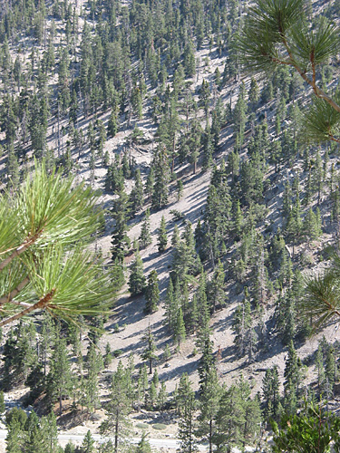
Once
you get over the dry side, the San Gabriels are lovely. This photo was
taken in 2009, before the notorious 2010 fire that wiped out all the vegetation.
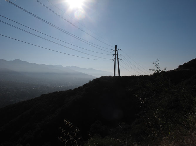
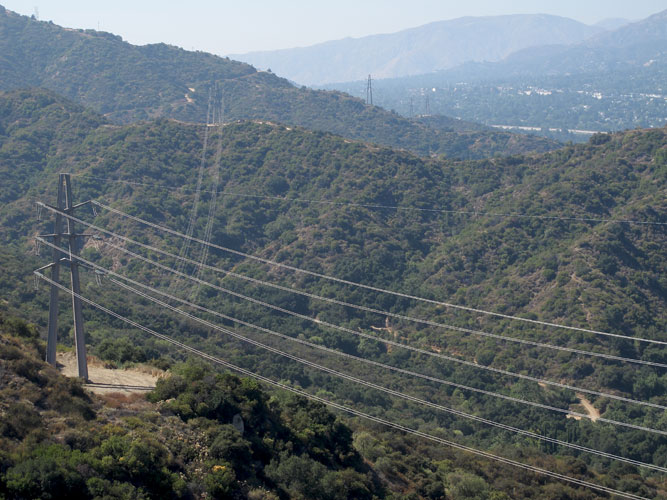
Ah,
the power of American industry. The Edison company has 20 zillion megatts
running along the northern slope of the Verdugo Mountains. The power lines
are serviced by the one-lane dirt road Edison Trail. I used the road that
they provided to take a few nice hikes up there, all the while cursing
them for sullying nature.


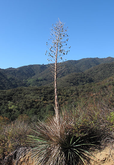
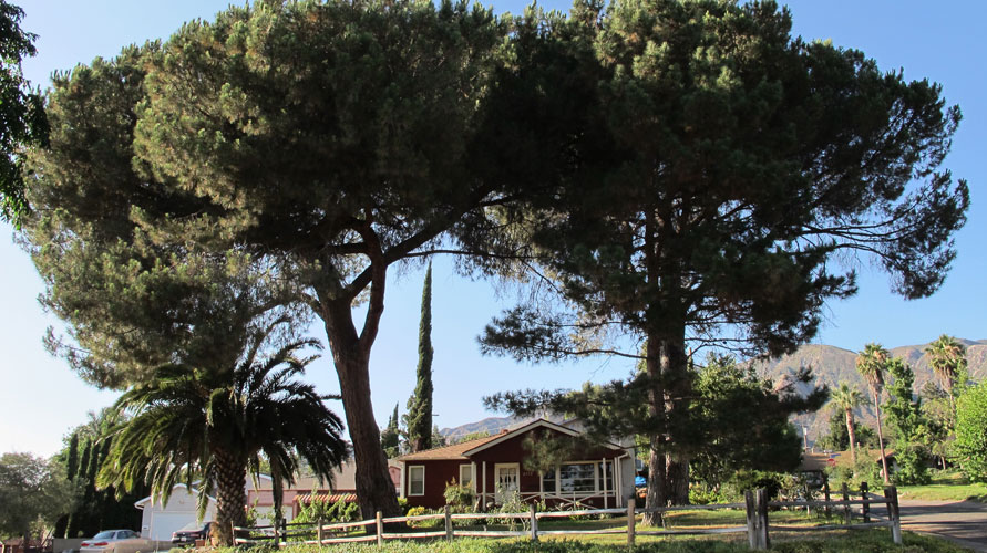
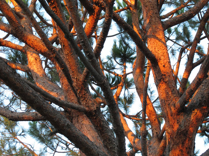
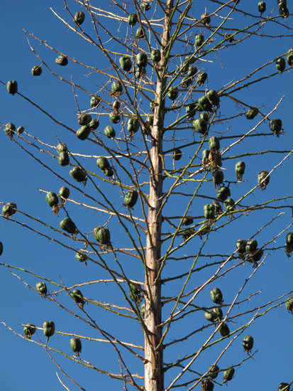
Up
in the Verdugo Mountains. Check out the close-up photo below.

This
sweet, warm-hearted lady, tough as nails, owns the horse stables where
Jeremy and Emily and Gramps sent many a carrot through the fence.
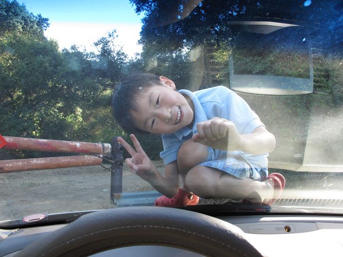
Jeremy
in one his tormenting moments...
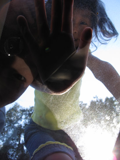
...and
Emilyl, in one of her more peaceful moments.
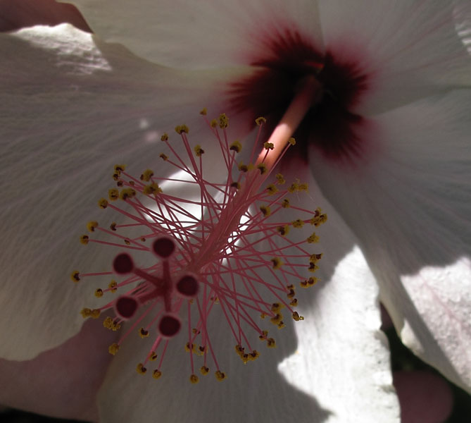
Never
knew hollyhocks were so intricate.

Mighty,
strapping cypresses like this one abound in the residential section of
La Crescenta.