The
Cascade Loop, Washington
Photos Home
Country Photos
USA
USA West
Country Photos Update 2013
USA Pacific Northwest 2012
All photos on this
page
© 2012 John Holstein
jfholstein@yahoo.com
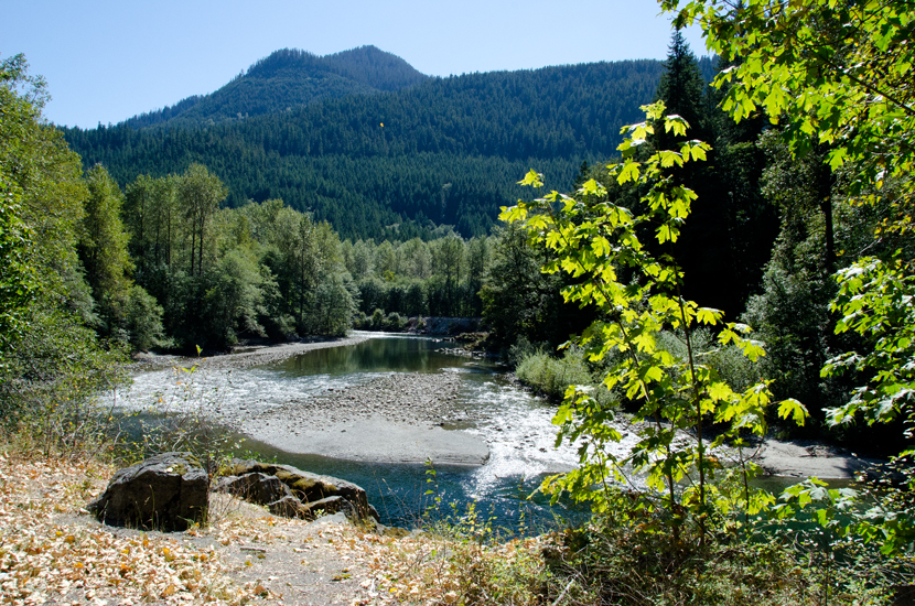
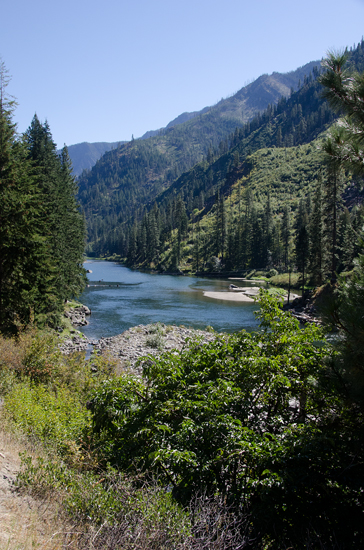
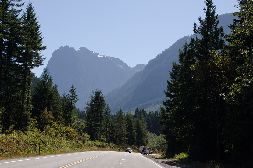
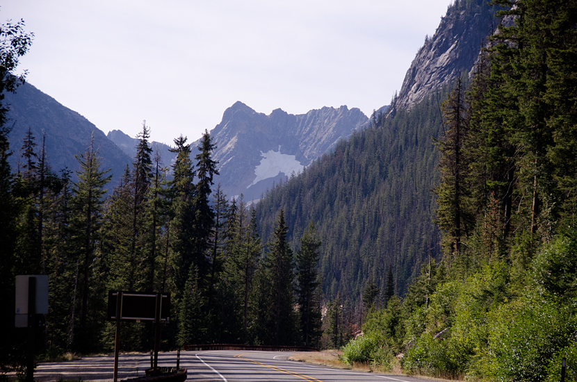
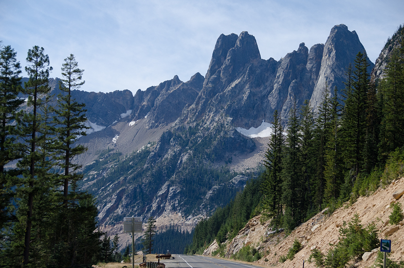
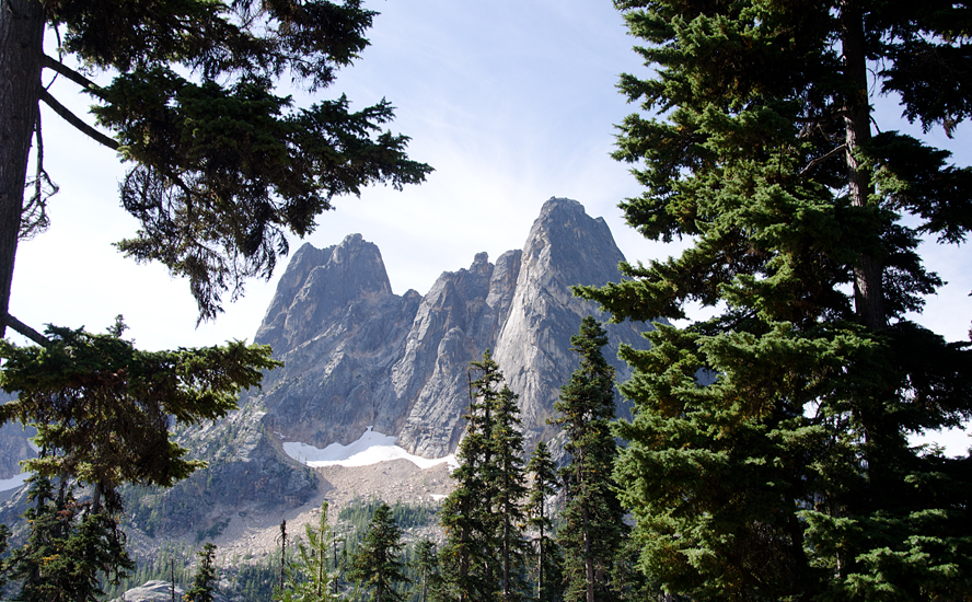
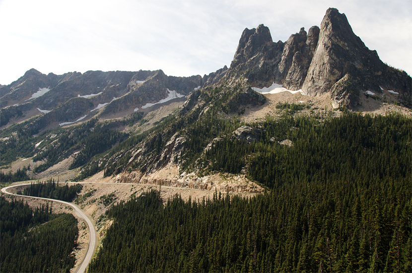
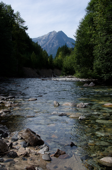
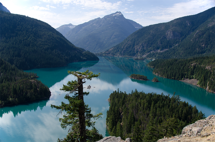
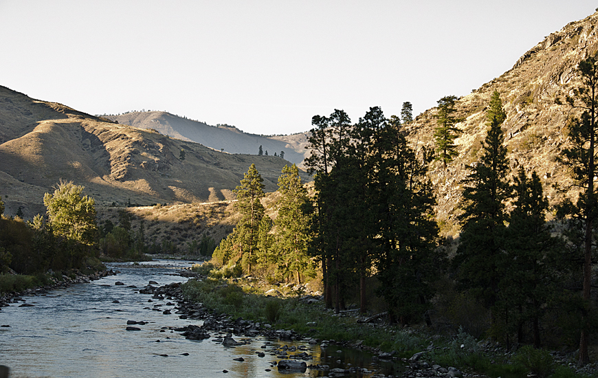
The
Cascade Loop runs around an area that extends from Fidalgo Island in the
west to Route 153 in the east, and Route 20 in the north to Route 2 in
the south. "Cascade" refers to the Cascade Mountain range.
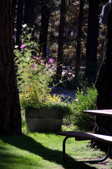

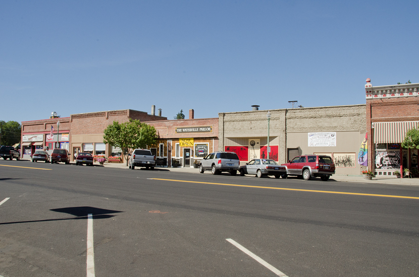
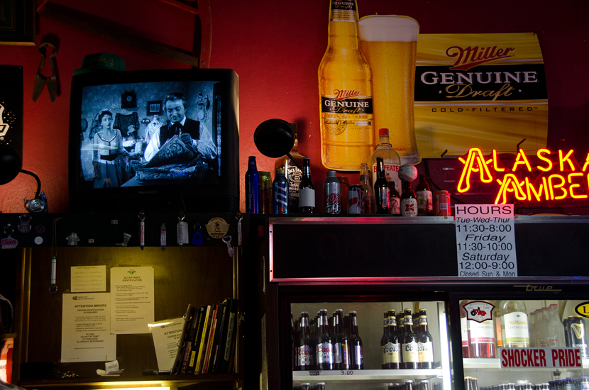
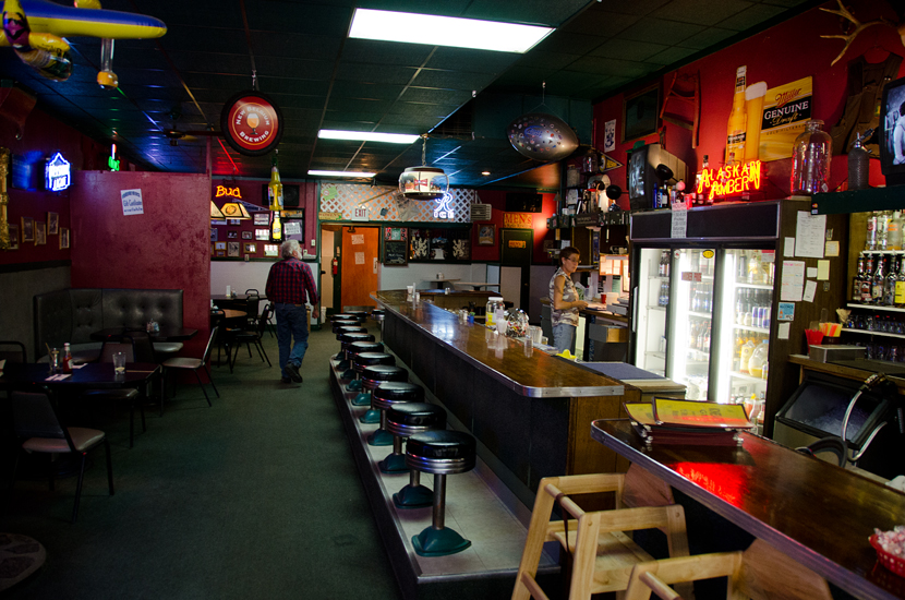
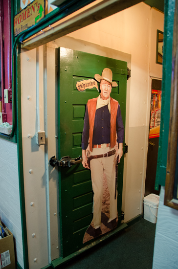
A
cafe in Marblemount
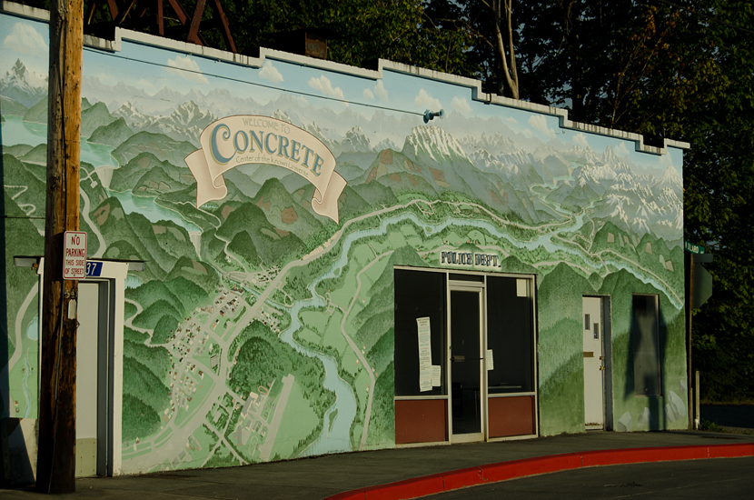
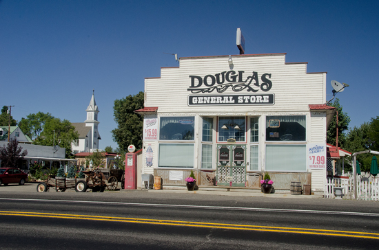
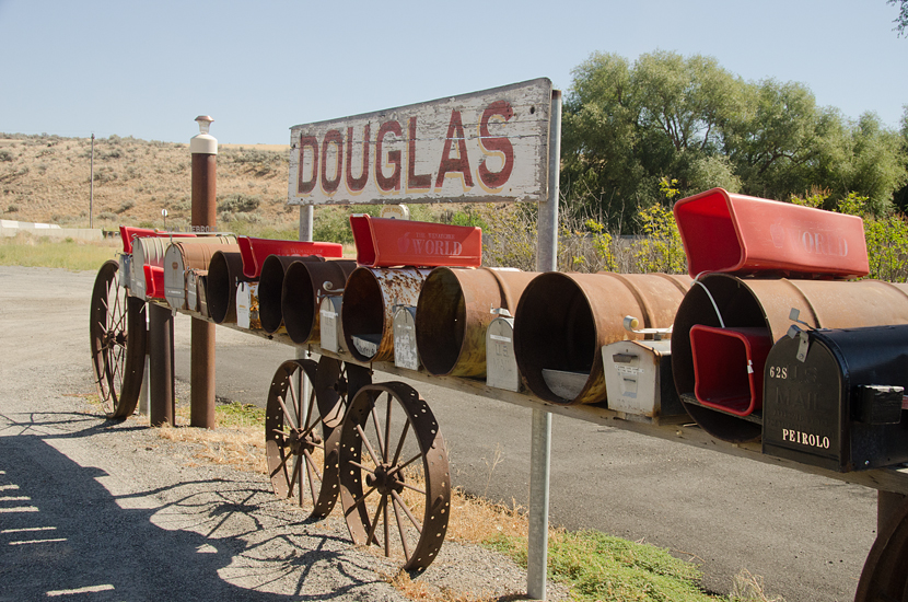
Wonderful
name for a town. Believe it or not, before they started making concrete,
the town was named Cement. More photos
of the town here.
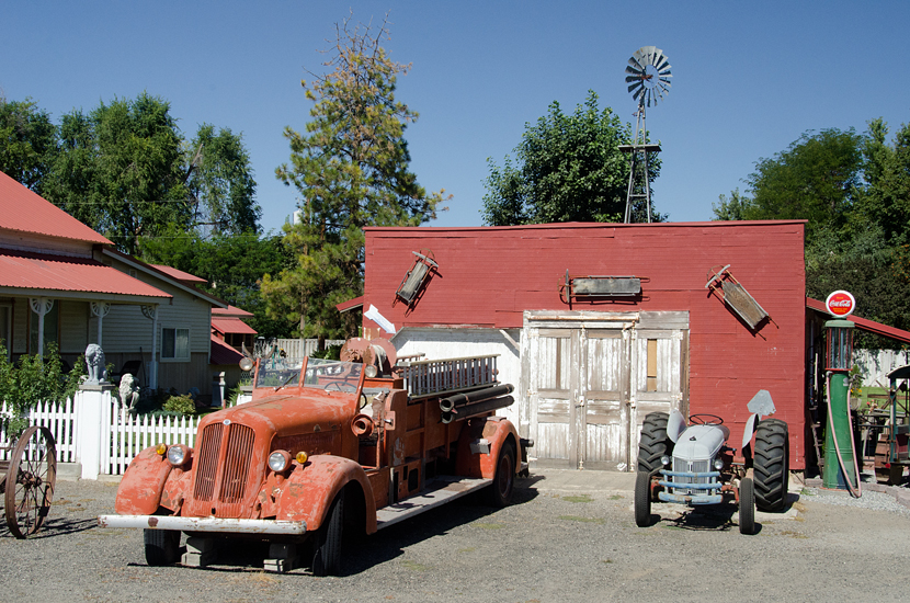
JUST
EAST OF THE CASCADE LOOP
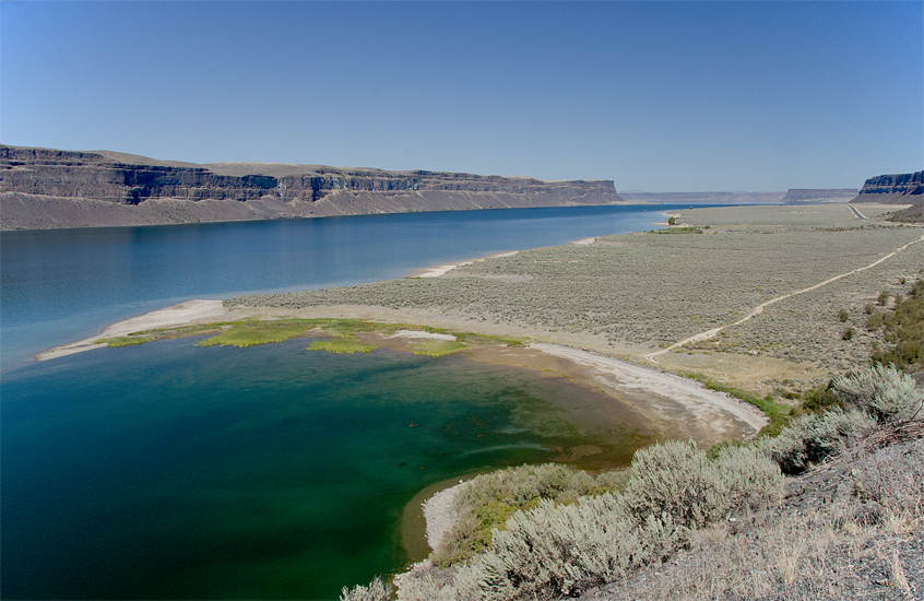
Banks
Lake, leading north to the Coulee Dam
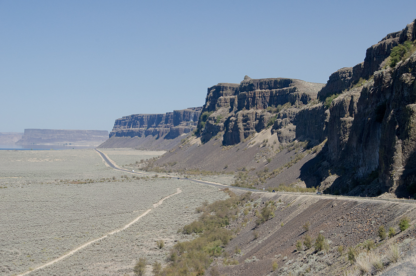
Route
15, leading to the Coulee Dam