Photos Home
Country Photos
Indonesia
Indonesia Update 2017
© 2018 John Holstein
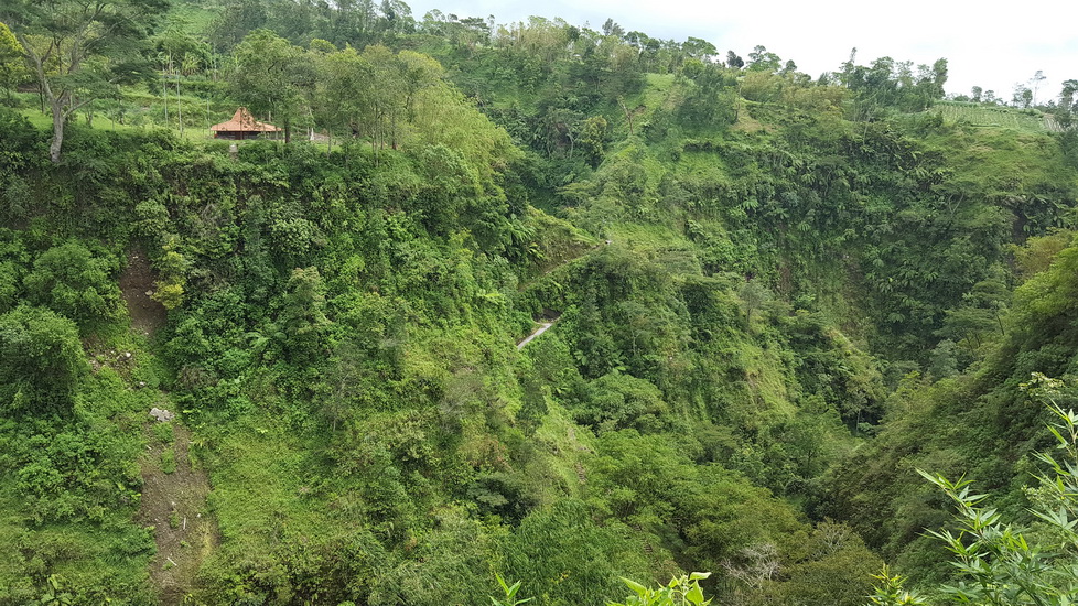
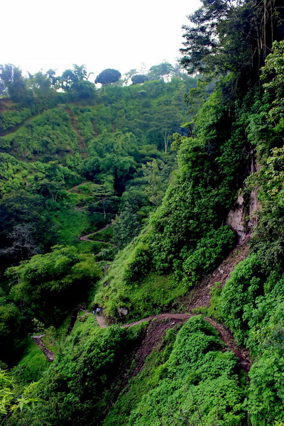
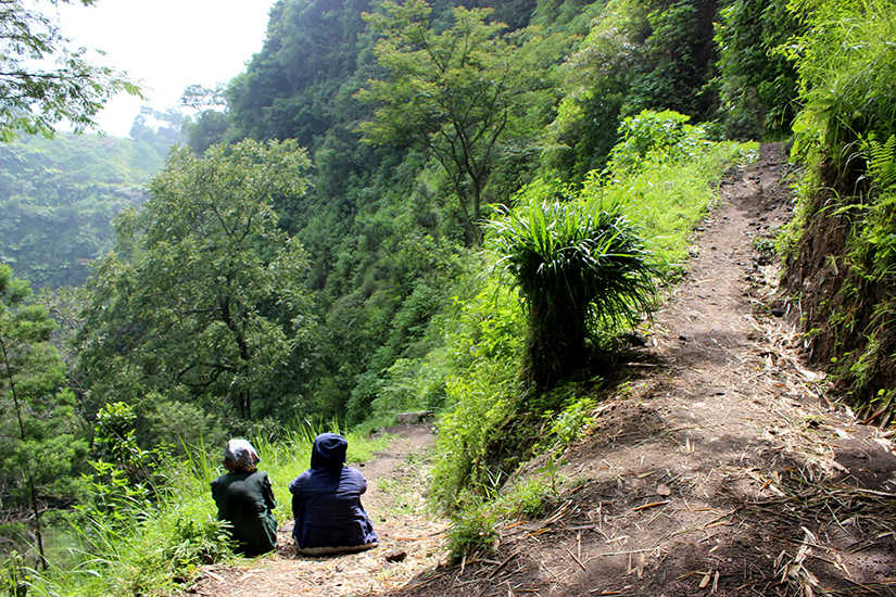
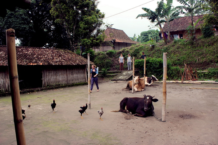
Gir Pasang is an isolated hamlet on the slope of Central Java's active volcano Mt. Merapi. It is just twenty miles north of Yogyakarta, but very difficult to access because of Merapi's poorly maintained roads and then the deep gorge that separates it from the roads. You have to be pretty committed to do the long, steep walk on the mountain trail (which you can see in the following photo). My friend Rio Paul and his friend, who volunteer to teach the kids in the village, took me there. I asked Rio to write a description of the village, and he obliged with the following.
Girpasang located in Klaten district, 5 km away from the peak of Merapi.
The name of Gir Pasang is derived from Gligir = edge of a cliff, and Pasang
(Quercus sundaica) = a name of a local tree which has survived Merapi
eruptions.
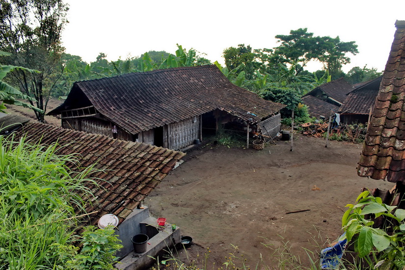
The village has a long history; it was built more than 400 years ago.
Mr. Padmo, the oldest man at this village, is the fourth descendant of
Ki Trunosono, a member of the household staff of the Panembahan Paku Buwono
VI (the King of Surakarta in 1823 – 1830). Ki Trunosono had 9 boys
and got a royal decree to occupy the remote hamlet 'Gir Pasang'. So, this
hamlet begins with three families and everything is still basically the
same. After Ki Trunosono died, the responsibility of leading the village
was held by Truno Prawiro (Padmo's grandfather), passed on to his father
Ki Pawiro Tani, then on to Padmo himself. In Indonesian language we describe
him as TETUA or wizzard of the village.
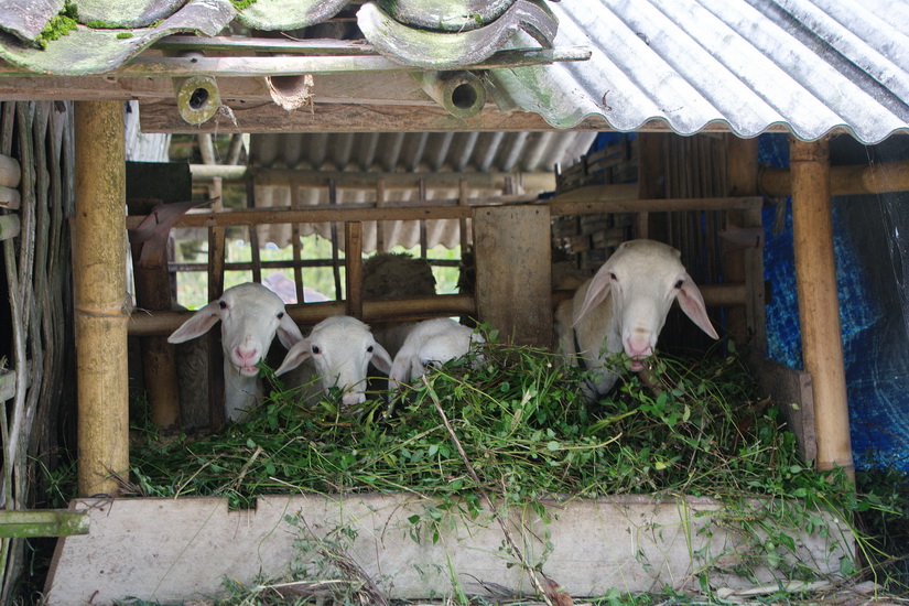
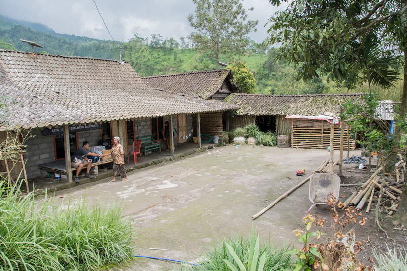
Now Girpasang is occupied by 12 households (35 people) who occupy 7 houses
(still the same since the beginning). All are typical Javanese houses,
using wooden poles or plaited bamboo. The people plant and sell the grass,
chili, tobacco, cinnamon, celery and also they produce good quality charcoal.
At the top of the village, you can find a cave built by the Japanese (during
the WWII), also some natural caves where some people use them for meditation.
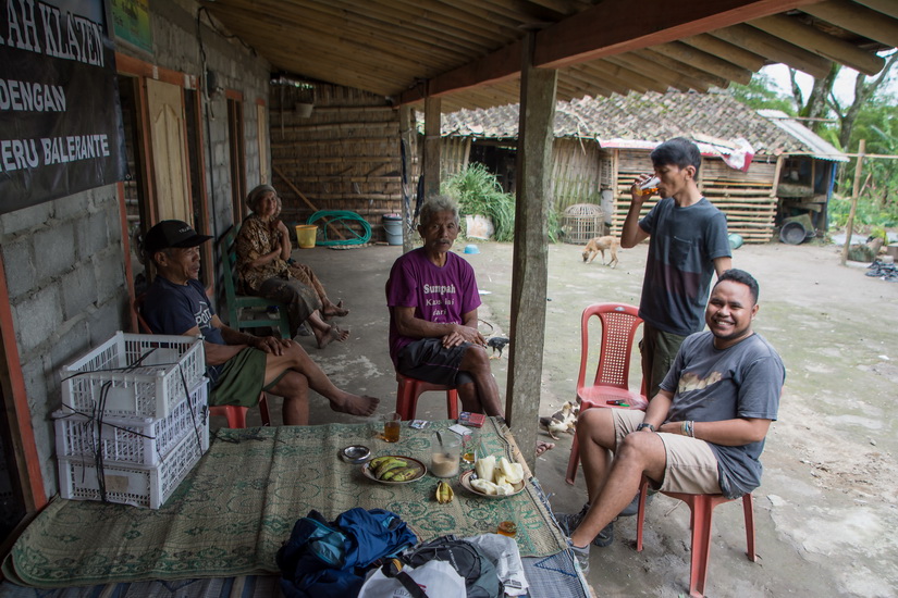
Normally we go there once in a month (in the 3rd week) but sometimes the
locals invite us to attend certain events such as wedding party or post-harvest
ceremony.
It's so difficult to keep people away from Girpasang, because the government
already launched some eco-tour packages to Girpasang and some NGO's also
often organize some social events there. All we can do is taking a chance
with the local government to avoid the massive visitor who will carry
so many trash to this village. The government already set a plan about
it, as the filter, they will put some rules for the visitor before entering
the village.
.jpg)